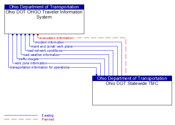
Interface: Ohio DOT OHGO Traveler Information System - Ohio DOT Statewide TMC
Architecture Flow Definitions
evacuation information (Planned) Applicable ITS Standards
Evacuation instructions and information including evacuation zones, evacuation times, and reentry times.
incident information (Existing) Applicable ITS Standards
Notification of existence of incident and expected severity, location, time and nature of incident. As additional information is gathered and the incident evolves, updated incident information is provided. Incidents include any event that impacts transportation system operation ranging from routine incidents (e.g., disabled vehicle at the side of the road) through large-scale natural or human-caused disasters that involve loss of life, injuries, extensive property damage, and multi-jurisdictional response. This also includes special events, closures, and other planned events that may impact the transportation system.
maint and constr work plans (Existing) Applicable ITS Standards
Future construction and maintenance work schedules and activities including anticipated closures with anticipated impact to the roadway, alternate routes, anticipated delays, closure times, and durations.
road network conditions (Existing) Applicable ITS Standards
Current and forecasted traffic information, road and weather conditions, and other road network status. Either raw data, processed data, or some combination of both may be provided by this architecture flow. Information on diversions and alternate routes, closures, and special traffic restrictions (lane/shoulder use, weight restrictions, width restrictions, HOV requirements) in effect is included along with a definition of the links, nodes, and routes that make up the road network.
road weather information (Existing) Applicable ITS Standards
Road conditions and weather information that are made available by road maintenance operations to other transportation system operators.
traffic images (Existing)
High fidelity, real-time traffic images suitable for surveillance monitoring by the operator or for use in machine vision applications.
transportation information for operations (Existing) Applicable ITS Standards
Information on the state of transportation system operations including traffic and road conditions, advisories, incidents, transit service information, weather information, parking information, and other related data.
work zone information (Existing) Applicable ITS Standards
Summary of maintenance and construction work zone activities affecting the road network including the nature of the maintenance or construction activity, location, impact to the roadway, expected time(s) and duration of impact, anticipated delays, alternate routes, and suggested speed limits. This information may be augmented with images that provide a visual indication of current work zone status and traffic impacts.